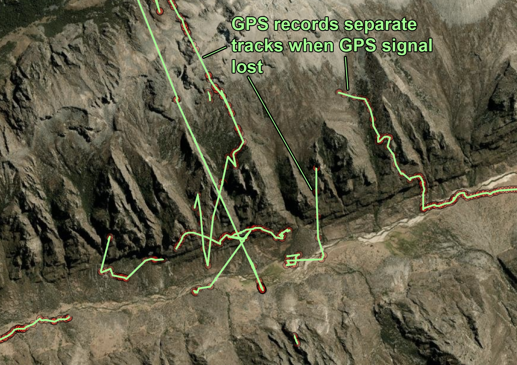
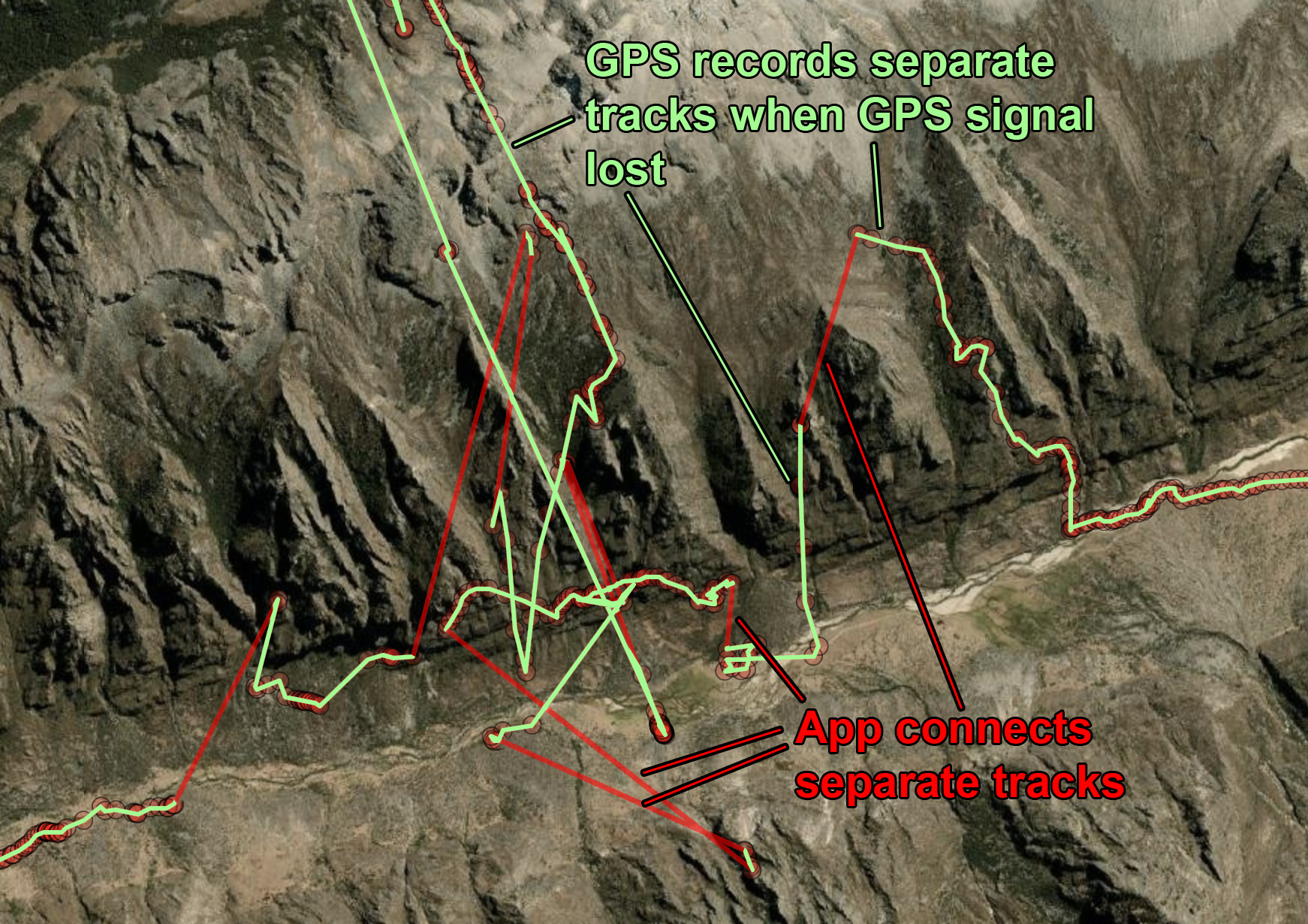
Inevitably you may get GPS recordings where satellite reception diminishes or is lost all together. This results in a messy GPX file with multiple segments, and may come in to some programs with unexpected results. For example, Strava.com might just use the first segment and dump the rest. GoogleEarth might give you disconnected paths to work with, as shown below.
In GIS.ly, these issues are referred to as Track Gaps. For convenience, all Track segments are merged into a single track segment automatically when the recording is loaded.

