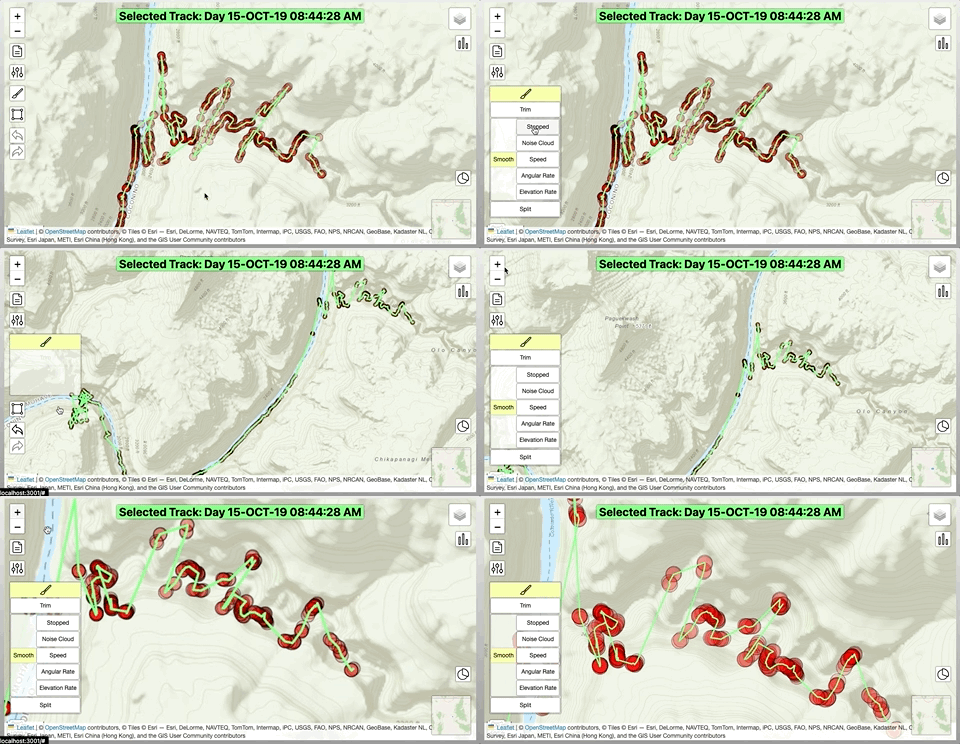
Smoothing is the most common need/method for cleaning Tracks. This is a process of identifying likely incorrect or undesired recorded TrackPoints and removing them from the Track.
Smoothing is done by comparing TrackPoint or TrackSegment properties against an activity-specific criteria of min/max values, such as min speed for stopping, max speed for when the TrackPoint could not physically have been reached with the type of movement being performed.
v1 will include better smarter smoothing algorithms that self-refer to statistical outliers in various criteria. This may be more accurate than a singular speed limit, for example.
Elevations
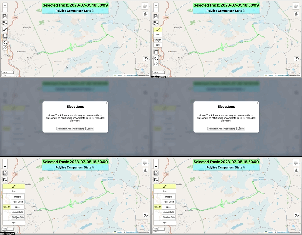
Operations that use elevation (such as ascent/descent rate limits) are special cases that require more work. Many GPS recordings do not have data, or if they do, such data is imprecise and usually recorded from a barometer rather than actual spatial measurements.
GIS.ly can get terrain elevation data that corresponds to the point on the Earth’s surface of a particular TrackPoint and add it to the current session. This requires querying a 3rd party API over the internet. This cannot work offline, takes more time, and also may have daily limits and throttling limitations. As such, a prompt is shown to allow the user to choose their course of action.
v1 will have a database and caching mechanisms that can reduce calls to the external API within a session or between sessions/users by saving the data as it is retrieved.
v1 or later will introduce new smoothing methods using elevation data, such that a Track can automatically be aligned with handrail terrain features, such as a ridgeline or canyon bottom.

