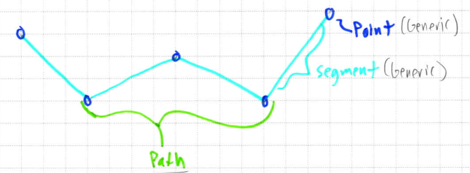
Paths are any set of 2 or more contiguous segments of a polyline/Multiline.
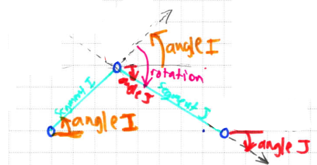
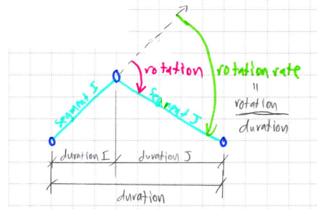
They are used to derive higher order ‘path’ Point properties, which are first and second derivatives, illustrated below:
Higher Order Path Entities | Derived Property | Notes | Diagrams |
|---|---|---|---|
Rotation | Difference in adjacent segment angles in a 2D plane tangent to the Earth’s surface. Sign is determined by Route direction. | ||
Slope | As an average of segment angles in a vertical plane about a Point | ||
Speed | As an average of segment speeds about a Point | ||
Rotation Rate | rotation / duration | ||
Ascent Rate | height / duration > 0 | ||
Descent Rate | height / duration < 0 |
See the Track page for a detailed example of how Path Properties are derived & used.
See the Polyline data structure page for how these updates are handled in the Route data structure.


