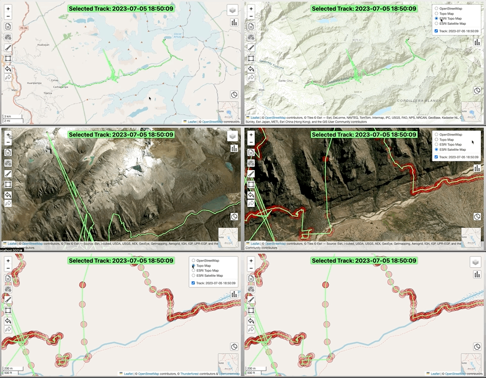
Changing Underlays
There are multiple map underlays available for display. These can be helpful in ascertaining bad GPS data or correct routes to align recordings with. Currently available underlays are OpenStreetMap (default), Thunderforest topo map and an ESRI topo map & satellite map.
Underlays are specified in a JSON settings file config.JSON. Additional underlays can be added, or existing ones removed, by modifying this file.
